Cutting-edge technologies - from drones to data collected by taxi drivers - are becoming key weapons in the global battle to improve land rights and fight poverty, experts said on yesterday. Advances in earth observation, digital connectivity and computing power provide an array of information, from detailed topographical maps to transportation use, that was previously unimaginable, geospatial experts said at a World Bank Conference on Land and Poverty.
The information collected can be instrumental to helping establish property records and land titling systems in countries where there is no formal ownership or land-use documentation.
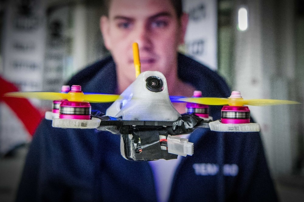
Survey-mapping drones may look like toys but are powerful machines having a huge impact on land-use planning in Africa, said Edward Anderson, a senior World Bank disaster management expert. Private companies that collect data as part of their businesses are being encouraged to share with state planning authorities as well, said Holly Krambeck, a World Bank transport planning expert. GPS data collected by taxi drivers is helping to design plans for infrastructure and roads in countries such as Brazil and in North Africa, she said. Using technology can also help identify new sources of tax revenue, experts said.
About the author
Research Associate at Center for Islam and Global Affairs (CIGA) at Istanbul Sabahattin Zaim University
Keep up to date with what’s happening in Turkey,
it’s region and the world.
You can unsubscribe at any time. By signing up you are agreeing to our Terms of Use and Privacy Policy.
This site is protected by reCAPTCHA and the Google Privacy Policy and Terms of Service apply.