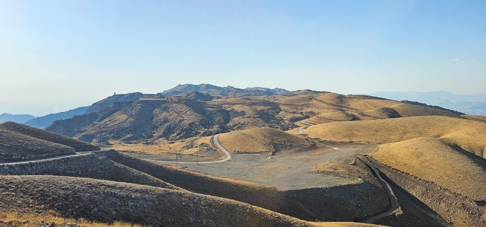
The Disaster and Emergency Management Authority (AFAD) collected data using light detection and ranging (LIDAR) technology at the Sefine area on the summit of Cudi Mountain in Şırnak, southeastern Türkiye, which is believed to be the landing site of Noah’s Ark.
Under the special instructions of AFAD President Ali Hamza Pehlivan, a technical team consisting of experts from AFAD’s Directorate General for Earthquake and Risk Reduction, led by professor Orhan Tatar, conducted a field operation in the Sefine area of Cudi Mountain.
Using drones equipped with LIDAR technology, they collected data from the site. LIDAR works by sending laser pulses toward surfaces and measuring how long it takes for the light to bounce back, allowing researchers to create highly detailed 3D maps of terrain, buildings and historical structures.
During a drone flight lasting approximately 3.5 hours, thousands of photographs of historical remains were captured. These images will be processed using computer merging methods to produce 3D models with precise coordinates.
A study will be conducted to examine how historical remains have been affected over time by climate-related disasters, the resulting damage and potential reinforcement methods.
This research, which is important for preserving historical structures for future generations, is particularly significant for Mardin and Şırnak’s historical sites, with the work at Cudi Mountain’s Sefine area being especially meaningful.