A comprehensive climate risk assessment conducted by the Istanbul University Institute of Marine Sciences and Management has outlined a long-term vulnerability framework indicating that coastal infrastructure across the metropolitan system of Istanbul could face escalating systemic pressures due to projected sea level rise scenarios extending to the year 2300.
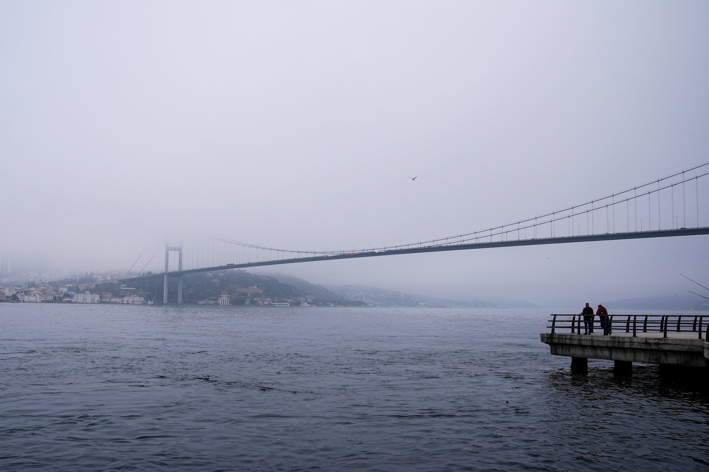
Based on international climate modeling frameworks, including datasets aligned with the Intergovernmental Panel on Climate Change (IPCC), the study positions Istanbul among the most exposed global port megacities due to its dual-coastline configuration spanning the Black Sea and the Marmara Sea.
Researchers emphasize that this geographic structure significantly amplifies exposure to compound coastal risks, particularly when assessed through GIS-based spatial impact modeling.
The analysis presents a multi-scenario projection timeline for 2050, 2100 and 2300, integrating coastal elevation data, infrastructure mapping and hydrodynamic simulations. Under the mid-century outlook, a sea level increase of approximately 1.5 meters (4.9 feet) is projected to place nearly 70% of port infrastructure assets at risk of functional disruption.
By 2100, scenarios indicating a potential 5-meter rise suggest near-complete exposure of port systems, alongside significant disruption to more than 60% of rail corridors and approximately 40% of highway networks linked to coastal logistics clusters.
The most severe long-range projection, extending to 2300, anticipates a potential sea level rise of up to 15 meters under high-impact climate pathways. In this scenario, large sections of port infrastructure across Istanbul are assessed to become operationally obsolete, with extensive coastal zones transitioning into permanent inundation risk zones.
The findings indicate that more than 10,000 built assets, including logistics terminals, storage facilities, and transport-adjacent structures, could fall within high-risk flood exposure boundaries.
The Institute underscores that accelerated cryospheric melt driven by polar temperature anomalies remains a primary long-term driver of sea level expansion. Multi-model ensemble outputs suggest a consistent upward trajectory in ocean volume during the second half of the century, reinforcing the role of global oceans as a leading indicator of climate system instability.
Complementary data from the United Nations Economic Commission for Europe highlights maritime logistics as one of the most climate-exposed industrial sectors, particularly in high-density port corridors.
Operational risk assessments in the study identify a cascade of secondary impacts on maritime and coastal infrastructure. These include reduced equipment lifespan due to heat stress, higher energy consumption in port operations, and frequent disruptions from extreme rainfall and fog events.
Additional pressures involve sediment buildup in harbor basins, increasing dredging needs, and structural stress on docking systems due to stronger wind and wave activity. Collectively, these factors are expected to raise insurance costs and increase macroeconomic vulnerability across maritime trade systems.
Cem Gazioğlu, director of the Istanbul University Institute of Marine Sciences and Management, said modeling of the Bosporus corridor and surrounding coastal zones shows concentrated exposure around major logistics hubs.
He noted that Ambarlı, Haydarpaşa and Yenikapı stand out as key risk areas under worst-case scenarios, with flood exposure potentially covering between 247,000 and 1.73 million square meters of operational land.
Gazioğlu said many of these assets are embedded in national and international supply chains, meaning physical damage would directly disrupt logistics networks. He stressed that adaptation requires a major rethink of coastal planning, including relocating critical port functions to higher ground, strengthening coastal defenses such as breakwaters and sea walls, and deploying GIS-based early warning and digital monitoring systems.
The study also highlights governance and financing constraints as major barriers to large-scale adaptation in dense urban areas such as Istanbul. Despite growing global alignment on climate resilience, implementation gaps remain due to high costs and coordination challenges.
Associate professor Gürcan Büyüksalih pointed to broader systemic impacts, noting that saltwater intrusion, coastal erosion and wetland loss will increase pressure on both industrial and drinking water systems. He warned that interconnected infrastructure could trigger cascading failures across transport, water and energy networks.
He added that historic coastal zones, especially around the Golden Horn, face rising inundation risks, threatening not only economic activity but also cultural heritage and tourism. In this context, Istanbul’s risk profile is increasingly seen as multidimensional, spanning economic, environmental, and social dimensions.
Irşad Bayırhan, a faculty member at the Istanbul University Institute of Marine Sciences and Management, said that while uncertainty remains in long-term models, the overall risk direction is clear. He stressed that planning should prioritize worst-case scenarios rather than average outcomes, given the irreversible nature of coastal change once thresholds are crossed.
The study concludes that without accelerated adaptation investment and coordinated coastal governance reforms, Istanbul’s port systems could face partial disruption by 2100 and large-scale operational failure by 2300, placing the city on a high-priority global resilience agenda.